


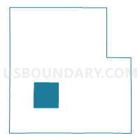
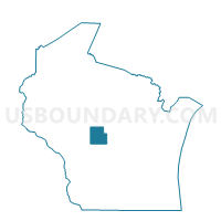
DEXTER - T 1 Voting District, Wood County, Wisconsin
About
Outline

Summary
| Unique Area Identifier | 698383 |
| Name | DEXTER - T 1 Voting District |
| County | Wood County |
| State | Wisconsin |
| Area (square miles) | 35.53 |
| Land Area (square miles) | 34.52 |
| Water Area (square miles) | 1.02 |
| % of Land Area | 97.14 |
| % of Water Area | 2.86 |
| Latitude of the Internal Point | 44.39378190 |
| Longtitude of the Internal Point | -90.14573350 |
Maps

Graphs
Select a template below for downloading or customizing gragh for DEXTER - T 1 Voting District, Wood County, Wisconsin


Neighbors
Neighoring Voting District (by Name) Neighboring Voting District on the Map
- CARY - T 1 Voting District, Wood County, WI
- CRANMOOR - T 1 Voting District, Wood County, WI
- HANSEN - T 1 Voting District, Wood County, WI
- HILES - T 1 Voting District, Wood County, WI
- Pittsville - C 2 Voting District, Wood County, WI
- Pittsville - C 3 Voting District, Wood County, WI
- REMINGTON - T 1 Voting District, Wood County, WI
- SENECA - T 3 Voting District, Wood County, WI
- WOOD - T 1 Voting District, Wood County, WI
Top 10 Neighboring County Subdivision (by Population) Neighboring County Subdivision on the Map
- Seneca town, Wood County, WI (1,120)
- Pittsville city, Wood County, WI (874)
- Wood town, Wood County, WI (796)
- Hansen town, Wood County, WI (690)
- Cary town, Wood County, WI (424)
- Dexter town, Wood County, WI (359)
- Remington town, Wood County, WI (268)
- Cranmoor town, Wood County, WI (168)
- Hiles town, Wood County, WI (167)